Projects
Little River Floodplain Mapping and Sandwich South Secondary Plan – Windsor, ON
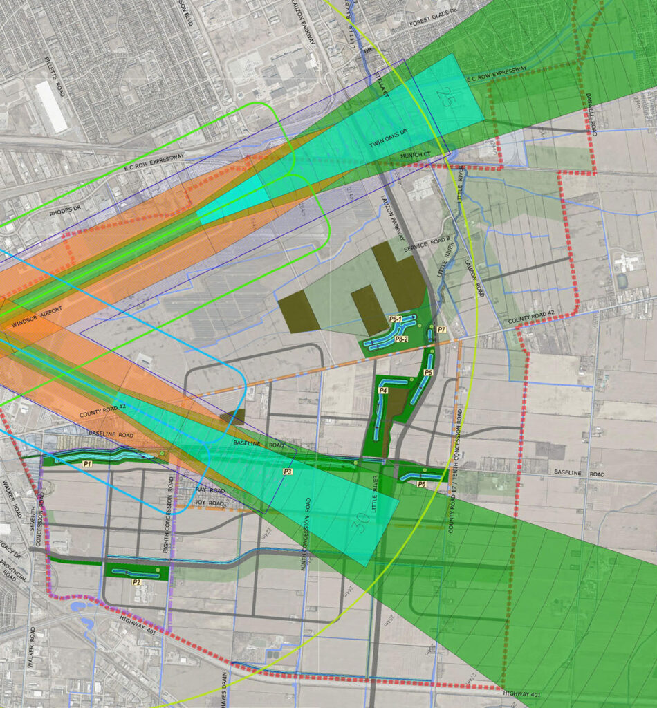
Dillon was retained by the City of Windsor to provide updated Little River Floodplain Mapping from the 1985 limits and develop a stormwater management concept for the Sandwich South secondary plan area in conjunction with newly established floodplain limits. Both studies require a thorough examination of the hydrology and hydraulics of the Little River and its respective watershed.
The hydrologic and hydraulic portions of the study include the following tasks:
- Innovative field data collection to characterize watercourses;
- Calibration of design flows to local frequency analysis results to improve accuracy;
- Integration of hydrologic inputs from related studies within the watershed;
- Advanced 2D dynamic modelling of unique riparian storage conditions;
- Development of a stormwater management strategy to manage and mitigate existing and future flood risk;
- Innovative communication of study findings to support the consultation process with interactive, online GIS-based story maps.
A statistical frequency analysis of the Water Survey of Canada (WSC) HYDAT gauge within the Little River at Windsor was carried out to ascertain various return period discharge rates. To address the limited period of record of the annual peak instantaneous data, a correlation analysis between the overlapping periods of record of daily average data was carried out between the study gauge and that on a neighboring watercourse of similar size. An area weighting method was used to provide return period peak discharge estimates for the 2, 5, 10, 20, 50, and 100-year events for the study site.

In consultation with the technical review team, the suitability of using a traditional HEC-RAS 1-dimensional (1D) hydraulic model to represent the Little River watershed was reviewed. This was due to the local topography and potential for adjacent hydraulically-connected reaches. To address the concerns, a 1D-2D PCSWMM model was selected to model the study area. Both quasi-steady state and dynamic flow conditions are being considered as part of this assessment to provide a comprehensive assessment of storage routing characteristics in this unique setting.
The hydrology for the site was modeled in PCSWMM and was calibrated based on flow monitoring and flood frequency analysis described above. The calibrated dynamic hydrographs were used as inputs into the 1D-2D PCSWMM hydraulic model that accurately accounts for interaction of hydraulically-connected reaches.
To support the study’s public consultation activities, interactive on-line story maps were developed and used to illustrate updates in floodplain limits resulting from the analysis, and to facilitate the review of local areas of interest by land owners and members of the public.
Project Details
Project Partner: City of Windsor
Business Unit: Community Planning & Infrastructure
Service Offering: Drainage and Climate